220Kviews
30 Interesting Maps That Might Change Your Perspective, As Shared On This Instagram Account
A good map is worth a thousand words. A bad one, on the other hand, is just one, and usually a pretty ugly one.
If you've been on Bored Panda long enough, you probably know that we have a soft spot for cartography. After all, we've already covered it here, here, and here.
So when we discovered the social media project 'A Map A Day', we knew we had to make a publication about it too. Run by a cultural geography and tourism student, it regularly shares all sorts of geographical oddities that challenge the way you see the world.
Continue scrolling and see for yourself!
More info: Instagram | Facebook
This post may include affiliate links.
Visual Guide To Geographic Terms


Most-Used Word In Each State

The map reads left to right, "you can make these maps say whatever you want by adjusting the methodology, half the time your just amplifying random noise because the underlying data doesn't vary that much from one state to another. But whatever no body checks this stuff. just pick whatever normalization let's you make fun of Florida." lol
The evolution of maps has taken a long road. We, humans, have documented our surroundings for thousands of years, in the form of cave paintings, stone tablets, religious maps, printed maps, and the multi-layered digital maps of modern day.
From ancient Babylon, through the Renaissance, and into the present, mapping history offers a fascinating look into the collective psyche of each period.
Closeness Over Time

This so so true and some are so sad. The ones with the parents and dogs really make my heart ache.
Victoria Peak (Hong Kong), Carved Onto A Roll Of Tape
, Carved Onto A Roll Of Tape")
Never finding the end on that tape now! Was hard enough already
The Imago Mundi (more commonly known as the Babylonian Map of the World) is considered the oldest surviving world map.
It is currently on display at the British Museum in London and dates back to between 700 and 500 BC. It was found in a town called Sippar in Iraq. The carved map depicts Babylon in the center with places like Assyria and Elam nearby, all surrounded by a “Salt Sea” forming a ring around the cities.
Outside the ring, eight islands or regions are carved into the tablet. The map is accompanied by a cuneiform text describing Babylonian mythology in the regions depicted on the stone.
Sharks vs. Humans (2014)
")
This is heartbreaking! I watched a documentary during Shark Week and it stated that most of the sharks killed are just for their fins. The fins are made into Shark Fin soup. I hope we can make it illegal world wide to kill sharks. The are beautiful and amazing creatures.
Clouds Flow Past Mt. Fuji, Japan

A Chart Illustrating Gerrymandering In Its Most Basic Form

The medieval maps, on the other hand, seem to have been dominated by the church, reflecting the ecclesiastical dogmas and interpretations of Scripture
But during the late Middle Ages, a great deal of enthusiasm was generated by the travels of Marco Polo in the 1270s and 1280s.
New information about faraway places, and the stimulation of interest in world maps, promoted their sale and circulation and it was evident that Marco Polo’s experiences inspired the desire for exploration in many.
The Many Flags Inside Norway’s Flag

And take the blue away and you have Denmark - What country was they under to 1814!
Cause Of Death - Reality vs. Google vs. Media

Day And Night In Barcelona

Wind Blown Patches Of Snow Cause A 3D Effect In Eastern Colorado

Progress in other areas such as navigation, ship design and construction, instruments for observation and astronomy, and general use of the compass helped to improve existing map information, as well as to encourage further exploration.
Eventually, geographic knowledge was profoundly increased during the 15th and 16th centuries as Columbus, da Gama, Vespucci, Cabot, Magellan, and others made their discoveries, gradually transforming the world maps of those days.
A Bar In Dc Made A Us Map From One Summer's Confiscated Fake Id's

Land Use Comparison Of A Typical European City And A North American City

we might have apartments instead of houses in Europe, but also we can walk pretty much anywhere, totally worth it!
Detailed Replica Of Manhattan Carved Out In A 2.5 Tonne Block Of Marble

How The Solar System Travels Through The Galaxy

Arguably the most important aspect of postmedieval maps was their increasing accuracy. It was made possible by continuing exploration.
Another significant characteristic was a trend toward artistic and colorful rendition, for the maps still had many open areas in which their creators could indulge their imagination. Interestingly, many maps of this age have become sought out collectors' items.
When Two City Planners Hate Each Other (Missoula, Montana)
")
A Guide To Chicago Home Styles

Aerial View Of The Planned City Of La Plata, Argentina

The Timeline Of A Tree

Why are humans so ENDLESSLY destructive?! It makes me despair. So many things those of us alive right now have never seen and never will see - trees this size; huge flocks of birds; rivers silver with fish; endless waves of buffalo and bison on the prairies; truly clean air... all those things, and so much more, once existed. All gone now.
A reformation of cartography that evolved during the 18th century, however, popularized scientific trends and more accurate detail, thus replacing all the monsters, lions, and swash lines with factual content.
Soon the only decorative features were in the cartouche and around the borders. The map interiors contained all the increasing information available, often with explanatory notes and attempts to show the respective reliabilities of some portions.
Using The Statue Of Liberty To ‘Map’ How Copper Goes Through The Oxidation Process

Global Distribution Of Penguins

The Arc De Triomphe At The Center Of 12 Radiating Avenues In Paris, France

Eight Minimalist Maps

If earlier mapmakers chased quick, profitable output based on information obtained from reports of travelers and explorers, the new French cartographers were scientists, often men of rank and independent means.
For expensive ventures, such as the triangulation of two degrees of a meridian to determine the Earth’s size more accurately, they were even subsidized by the king or the French Academy. Similar trends were emerging across all over Europe.
States With A Smaller Population Than Los Angeles County

This shows how foolish those maps are that purport to show high Republican support across the country. Land doesn't vote, people do. But you take a sparsely populated state and color the whole thing red and it looks like this. PEOPLE need representation, not stretches of soil between arbitrary borders.
How To Read Tree Rings. The Color And Width Of Tree Rings Can Provide Snapshots Of Past Climate Conditions

Train Cars Filled With Coal On Lambert's Point Pier 6 In Norfolk, Virginia

‘Nobody Lives Here’, 1x1km Areas In The United Kingdom Where The Reported Population Equals Zero

During the past few decades, there has been a growing interest in the automation of mapping processes, and considerable progress was made in this area.
But as we can see from the pictures, there's still plenty of creativity going into making maps.
Everyone In The World Could Fit Into A 50km Diameter Circle

The North American Cryptid Map

I guess "Florida Man" is too scary to be included in this map.
Don't forget to take and share the pics with us here!!!
Load More Replies...Because deep down we all know the wendigo is real.
Load More Replies...Presumably due to its propensity to lick popes?
Load More Replies...Oklahoma octopus? But they aren't by the sea, is it a pond/river octopus?
don't try to use reason to figure out the "mystery" of cryptids.
Load More Replies...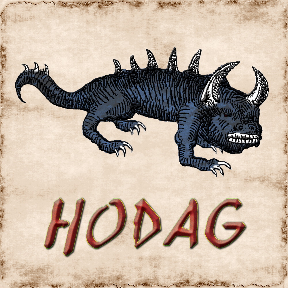
Thank you! I grew up just outside of Rhinelander so to see this missing made me sad lol
Load More Replies...Pope Lick Monster is thousands of miles from the Vatican. He's going to be disappointed...
Never heard of others beast of bray road. And I live right there. Look up the Hodag!
Sand crane!? Those are the most awesome (and creepy) birds!
Load More Replies...i heard of swamp ape as being called skunk ape. Unless those are two different dudes, i mean creatures.
5th generation Northern Californian here. Never heard of a Tessie but I'm guessing it has to do with Lake Tahoe. Which is funny because Tahoe is very clear, not like other lakes and lochs with legends that are peaty or silty. Northern California claims Bigfoot.
Why is the Thunderbird in Nebraska? I thought it was a mythic animal in Southwestern Native American lore, mostly Arizona.
You forget a couple of mythical creatures: the Piasa bird in Illinois and ethical politicians...thought to have existed once in Arizona, Texas, and Florida, now extinct, if they ever existed at all..
I've only heard of wendigo, sasquatch, skinwalker, and chupacabra... well and mothman but I thought that was just made up for 1 movie. Never heard of the ones near me, either. I'm even writing an urban fantasy book with a lot of different mythological figures in it, guess I've got some more research to do!
Wendigo and skinwalkers were super interesting to learn about. And moth man 😝
The United Pixels Of America

If the USA was a game map? Where’s the boss fight and the loot locations?
Comparing Shipping Routes Through History: Before And After The Construction Of The Panama And Suez Canals

Paths Of 800 Unmanned Bicycles Being Pushed Until They Fall Over

Gps Tracking Of Different Wolf Packs In Voyageurs National Park Minnesota Shows The Territoriality Of Wolves

Great Salt Lake, Utah

Famous Artworks Of European Nations

Geologic Time Scale

Venice, Italy, Which Is Situated Upon 118 Small Islands Separated By Canals And Linked By Bridges

Six Ways To Divide British Accents

Central Park, New York Seen From Above

Fixing The United States Borders

Waves Of The Pacific Ocean Rolling Into Shore In Antofagasta, Chile

The Boundary Between Scottsdale, Arizona, USA And The Salt River Indian Reservation

This is just sad. And yet at the same time, the reservation is preserving the land.
How Herd Immunity Works

World Population Percentages (2017)
")
It always amazes me how many people are in Bangladesh considering how small of a country it is.
The Plaza Del Ejecutivo In The Venustiano Carranza District Of Mexico City, Mexico

Ok so this is a grid of sorts but I guarantee you that I would get majorly lost here! There are too many options.
Separated At Birth - Similarities In Geographic Shapes

All The Time Zones Of The World Without A Basemap

Abstract Map Of The World In The Style Of Piet Mondrian

Simplified American Skylines


Landlocked States, Provinces And Territories Of North America

Ah, yes not landlocked, landlocked, doubly landlocked and 𝙉𝙀𝘽𝙍𝘼𝙎𝙆𝘼
Culinary Map Of Europe According To Italy

A Tour Through All Contiguous United States

I hope one day I can either rent or buy an RV and travel this path. I have been to all of the east coast and all of the southern states but not a lot of the ones in the middle and the north. I think it would be a lot of fun! Who's with me?

World Map In Mario Style

The Cafeteria Menu Designer’s Guide To Stereotypical Fonts

A Map Of The Continental USA Made Of 550 Pounds Of Cast-Iron Skillets

Trucks At The Port Of Los Angeles

The Smallest Country vs. The Tallest Building

London Underground Map As Seen From Above, With Additional Tube Schematic Maps

This us awesome. I once walked one of the routes above ground as best as I could for fun, back in the day.


Greece - The Series

What Is The Roundest Country?

Sad Topography

Historical And Present Day Range Of The African Lion

This breaks my heart too. I know that there are a few reasons to why this is happening. I just wish there was something we could do to increase the numbers. These lions are such majestic creatures
If I Could Live Anywhere, I Would Choose The Example Map From Geography Books That Explains What Everything Is Called

You Can Theoretically Drive In A Straight Line From Anchorage To Miami Without Crossing Over Any Major Body Of Water Due To The Curvature Of The Earth

A Different Form Of “Mind Mapping”. Instagrammer @zaaakk Had 30 People Draw A Map Of The World From Memory And Digitally Merged The Results

Central Park, Manhattan Aerial View

The Gastrointestinal System Represented As A Subway Map

Different Biomes At Varying Temperatures And Levels Of Humidity


Map Of Space Without The Space

Greenland Extends Farther East, West, North, And South Than Iceland

You Guys vs. Y’all In The United States

California As Seen By La

The Contiguous United States Compared To Various Places

Minimalist Map Of The Contiguous United States

The Dutch Holiday Diaspora: A Map Of The Roads Dutch People Use For Their Holidays. Every Blue Dot Is One Person Using A Traffic App

Texas Fits Into Queensland Very Neatly. (True To Scale, Corrected For Projection Distortion)
")
Cars Winding Down The Hill Of Lombard Street In San Francisco, California. With Eight Hairpin Turns Dispersed Over A One-Block Section In The Russian Hill Neighborhood, Lombard Is Often Referred To As “The Most Crooked Street In The World”

Vermont Street, also in San Francisco, is actually more crooked. Lombard is just more famous.
Europe If Sea Levels Rise A Couple Hundred Metres


Geologic Time

If America Were 50 States Of Equal Population Broken Up By Longitude

So part of Montana, Wyoming, Colorado and New Mexico would be mostly land? Interesting!
Location Of Every City Founded By The Roman Empire Outside Of Italy

Some (a lot) are missing. In turkey, africa, and other countries
America’s Most Searched “How To Spell” Per State

“Australia Arise! Save Her From This Shame!” A First World War Propaganda Map Showing A German Australia


The Us Separated Into Distinct Regions

Points In The Red Section Are Closer To Somewhere In Texas Than The Opposite Sides Of Texas Are To Each Other

The Flag Of The United States Through History

A Cheat Sheet For Figuring Out Where In The United States You Are By Recognizing The Background From Movies

Brokeback mountain is incorrect. It was filmed just outside of Calgary, Alberta, Canada. Nobody in Wyoming would recognize anything as being Wyoming, cause it isn't.


Virginia’s Territorial Claims Over The Years

United States Passport Ownership

There's only one black state. They are not going anywhere. The odd one takes a vacation overseas.
9 Ways To Divide Colorado

Map Of Every American And Every European City

Countries For The Americas By The Largest Foreign Nationality

Im totally lost lol. So many Mexicans in the US and so many Americans in Mexico. What am i supposed to be looking at? I am legit asking, im confused af lol
The Coastline Paradox

T-O Map Of The World


I want to see the world divided so that every country has the same population - and that could be used for international competitions. Maybe also a map that allocates the same wealth to each country, for alternate years at those competitions, just to make it more fair.
Some of these are quite interesting, some I just got lost more than anything, and most are beautiful in colors. A few were hilarious.
What is Agony Island????? It's been on the header image all day but isn't on the list!!
This list actually made me realize how much I've learned in geography this year for some reason
