Get Premium
Dark mode theme is available exclusively for premium users. Learn more about the benefits of subscribing.
No fees, cancel anytime.

 Dark Mode Ad-Free Browsing Unlimited Content
 Ad-Free Browsing Unlimited Content Dark Mode
Join 1.2 million Panda readers who get the best art, memes, and fun stories every week!
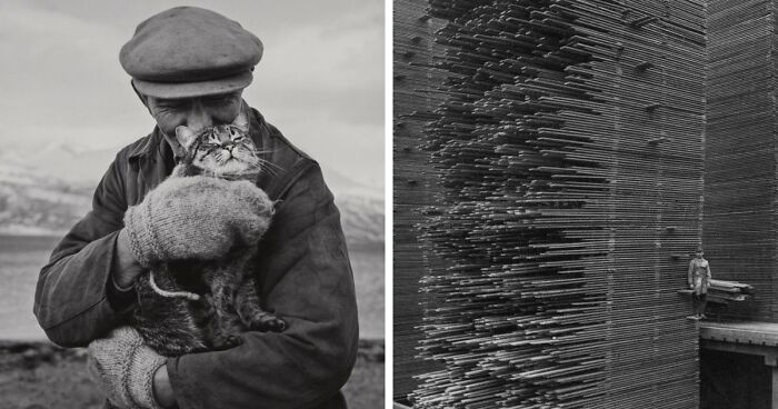
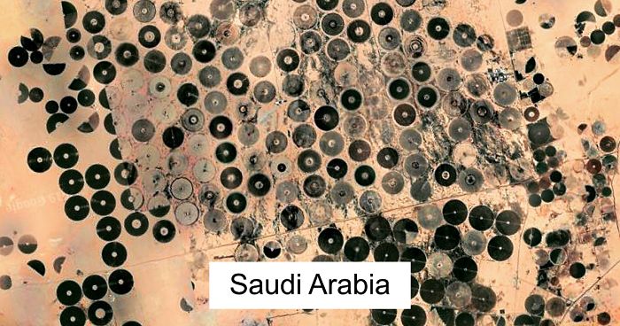
Some images I took during my recent "travels". I spend around 40-50min per day on Google Earth on my phone. When I see something I like, I take a screenshot, then edit the picture in Snapseed and upload it on Instagram with location info and such. I love the app anyways so this felt like a nice way to share some findings and things I saw. Hope you will like them.
More info: Instagram
This post may include affiliate links.
FYI these patterns were used for defensive purposes thus: Picture the outer rim with high walls (castle or land), and you want to get between the points to get inside, but then you would be flanked on both sides by projectile infantry along either point. Also, cannonfire would have further to travel up and over the walls to get inside the borders.
It looks really cool but it’s kind of grainy, is it grainy for everyone else?
Cool, if I could change it a little bit I would expand the focus a little bit more onto the rest of the town.
Looks like something from a video game map, I wonder what treasure lies in the center lake
The pictures titles are inconsistent. Sometimes it's a city name, some others are country names.
Google Earth isn’t the most accurate system, especially when it comes to unique places, or maybe he just messed up but the pictures are cool
Load More Replies...These are cool photos, really great idea. The green ones are stunning.
I agree. Sometimes I find something really cool but can't take a screenshot of it on my phone because of low quality image of the satellite. Problem is mostly in Vietnam, China, India. Africa has the best quality in terms of recorded land, interesting tho.
Load More Replies...The pictures titles are inconsistent. Sometimes it's a city name, some others are country names.
Google Earth isn’t the most accurate system, especially when it comes to unique places, or maybe he just messed up but the pictures are cool
Load More Replies...These are cool photos, really great idea. The green ones are stunning.
I agree. Sometimes I find something really cool but can't take a screenshot of it on my phone because of low quality image of the satellite. Problem is mostly in Vietnam, China, India. Africa has the best quality in terms of recorded land, interesting tho.
Load More Replies...


 No fees, cancel anytime


")