Get Premium
Dark mode theme is available exclusively for premium users. Learn more about the benefits of subscribing.
No fees, cancel anytime.

 Dark Mode Ad-Free Browsing Unlimited Content
 Ad-Free Browsing Unlimited Content Dark Mode
Join 1.2 million Panda readers who get the best art, memes, and fun stories every week!
Google Maps has been around since 2005 and since then, the platform has expanded to the point where it offers satellite imagery, aerial photography, street maps, 360° interactive panoramic views of streets, even real-time traffic conditions and route planning.
However, as a byproduct of all these cameras constantly documenting the world, we also get countless weird, awkward, and hilarious moments preserved online forever. The subreddit ‘Google Maps Shenanigans’ is full of screenshots capturing exactly that, from strange street encounters to perfectly timed coincidences, funny technological glitches, and much, much more.
This post may include affiliate links.
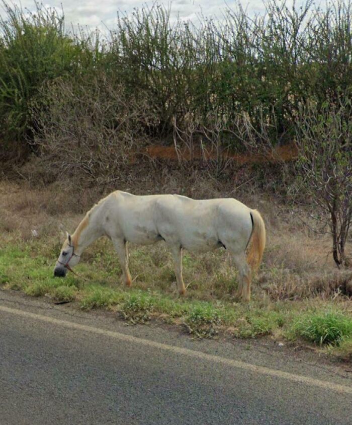
Uh-oh, looks like a new breed of horse! This was in State Of Bahia, Brazil.
Google Maps has become a tech juggernaut, boasting more than 2 billion monthly users worldwide. It also powers many third-party platforms, from Airbnb and Uber to real estate marketplaces and food delivery services.
The technology is now a key part of the Google/Alphabet product package, but the funny thing is, it just fell into their laps.
Stephen Ma has every right to claim bragging rights for helping to hatch it. Instead, for the past two decades, one of the four co-founders of Google Maps, has mostly stayed out of public eye.
“I tend to be a very private person,” Ma says in a rare interview. “I find the limelight uncomfortable.”
asunyra1:
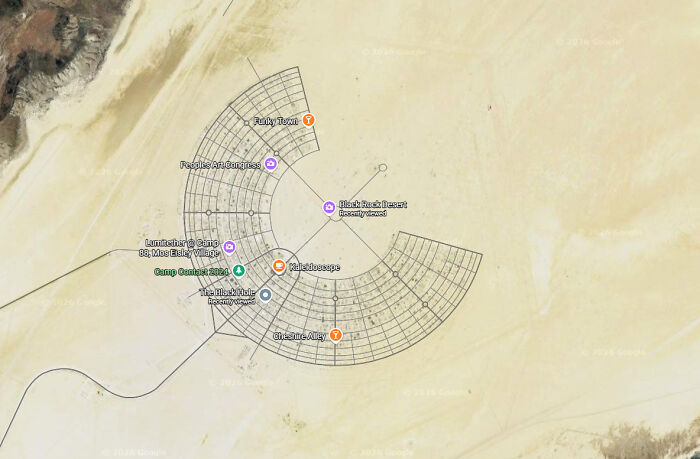
I’ve helped build that city and take it back down again about a dozen times over the last 25 years : )
It’s “Black Rock City”, aka Burning Man

Something kinda cool ruined by rich idjits. Like most of the the world.
Ma’s story begins in New South Wales, Australia, more specifically, the town of Cooma, where his family ran a Chinese restaurant.
It provided a livelihood for the extended family, and everyone pitched in. When he wasn’t attending school, Ma worked the till, taking payments, bookings, and takeaway orders. In all other respects, however, he remembers it as a normal childhood – much of which was spent in front of screens.
“I did a lot of the stereotypical tech nerd things like playing video games and learning how to program on an Apple II computer,” he explains.
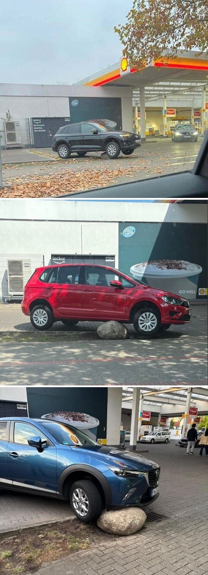
At a gas station driveway in Groß-Buchholz (Hannover, Germany) there once was an unassuming stone that was invisible to any motorist coming along … the little rock turned out to be one of the best-rated sites in Hannover, with 167 Google reviews averaging 4.9 stars, most of which are absolutely savage (search for Der unsichtbare Stein). Unfortunately, his outstanding camouflage abilities lead to him being removed by the city - as can be seen from a recent Google Maps picture - but his memory lives on.
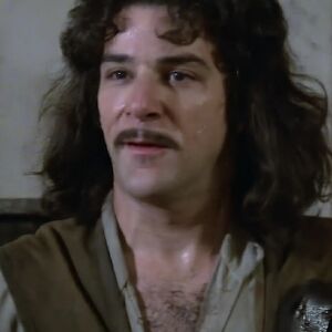
But I would not feel so all alone. Everybody must get stòned.
wiseguy4519:
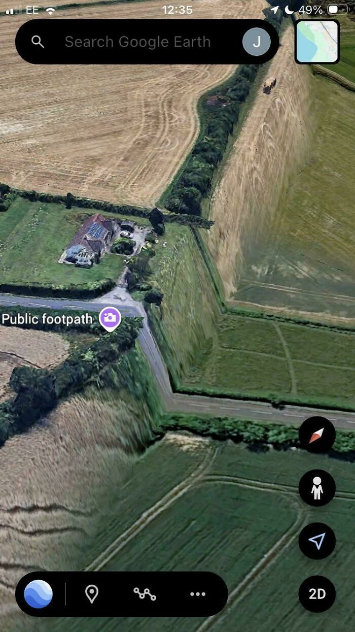
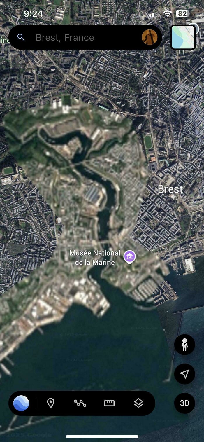
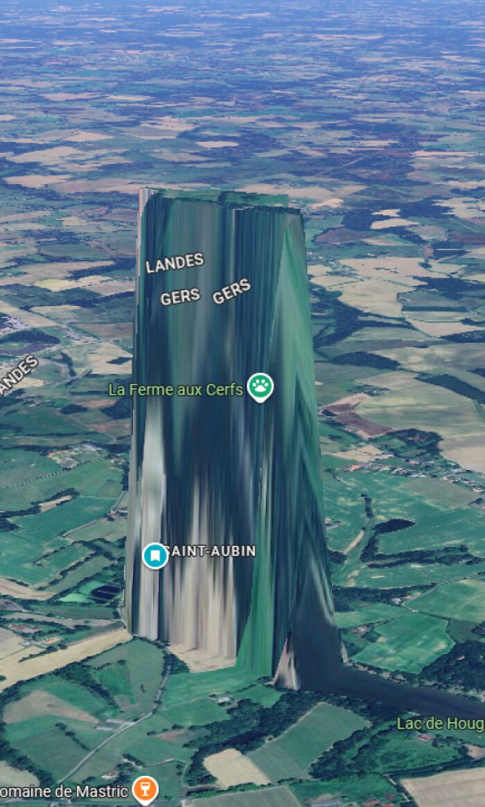
This is probably a seam between two different data sources for elevation.

Spotted in Argentina.
By 1998, Ma had graduated from university and was working in Sydney when he landed a job in Silicon Valley, just as the dotcom boom was rushing towards peak insanity.
Then the bubble burst and, by the early 2000s, Ma, along with thousands of others in the tech sector, found themselves unemployed.
After he returned to Sydney, Ma was contacted by a former colleague and fellow Australian, Noel Gordon, who invited Him to join him and two other unemployed software engineers — the Danish brothers Jens and Lars Rasmussen — to work on a startup. Their big idea was a new type of mapping platform.
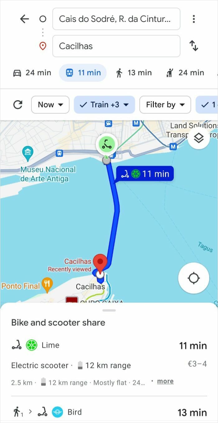
Jesus Christ on an electric scooter.

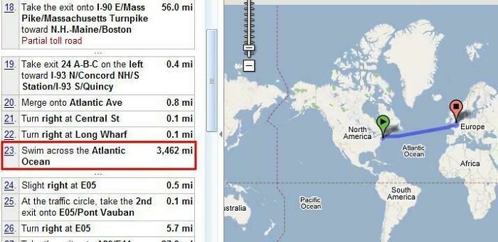
A long time ago, Google Maps used to give directions from, say, New York to Paris that included a lot of swimming. (update: it’s on this list)
awtizme:
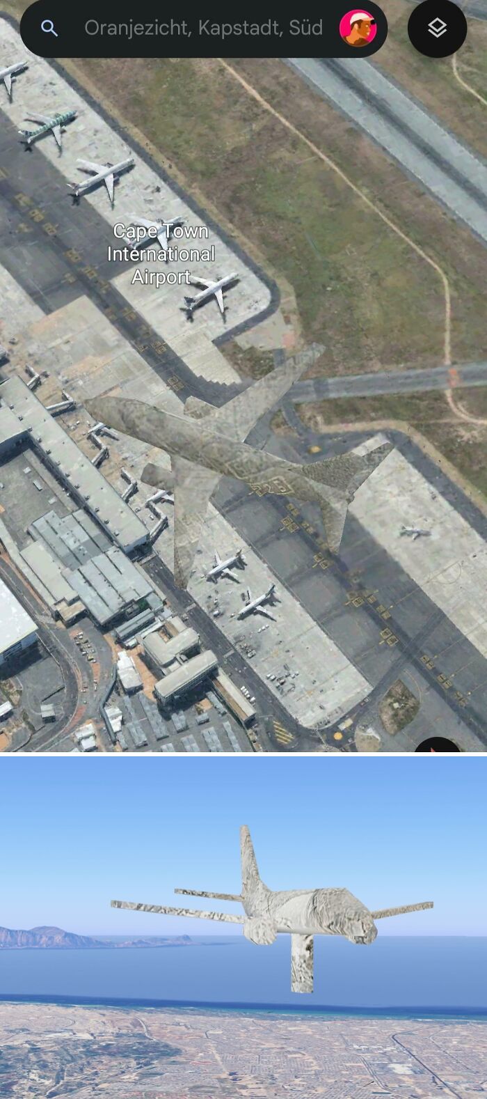
Wow it's literally a 3D object lol
Altitude is 1.09km
No idea what the thing attached underneath is
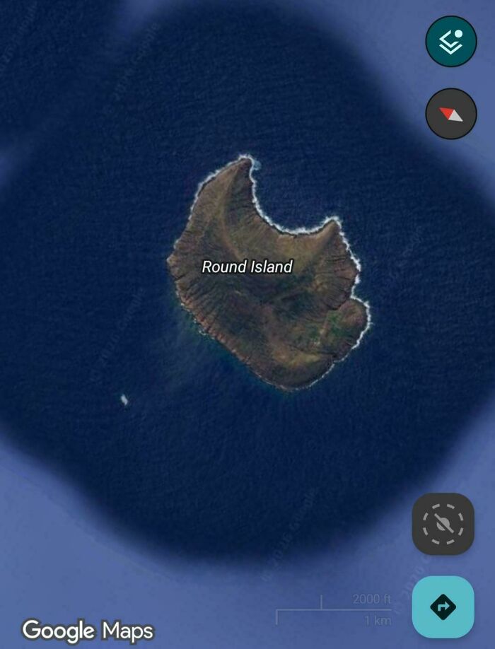
In all fairness, it was probably round until someone took a bite out of it.
Back then, the undisputed market leader in online mapping was MapQuest, which had been acquired by the internet giant AOL in 1999 for a staggering sum at the time, $US1.1bn.
But MapQuest was clunky and lived halfway between the digital and analog worlds: a user plotting a route had to print the turn-by-turn directions on their desktop or laptop. It was a digital dinosaur, unaware of the shifting tide.
n108bg:
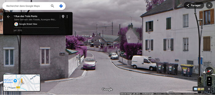
Looks like le infrared camera?
Anon:
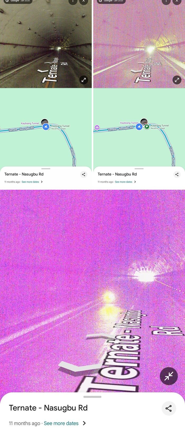
Yep, the part of the camera that filters out infrared is broken or missing. Fun fact: every digital camera can capture infrared light, it just gets filtered out.
TIMPA9678:
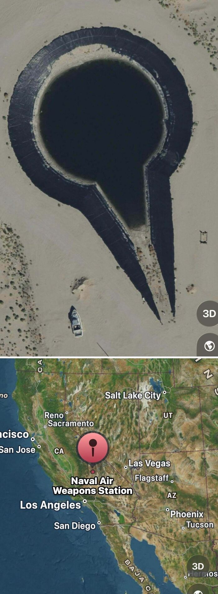
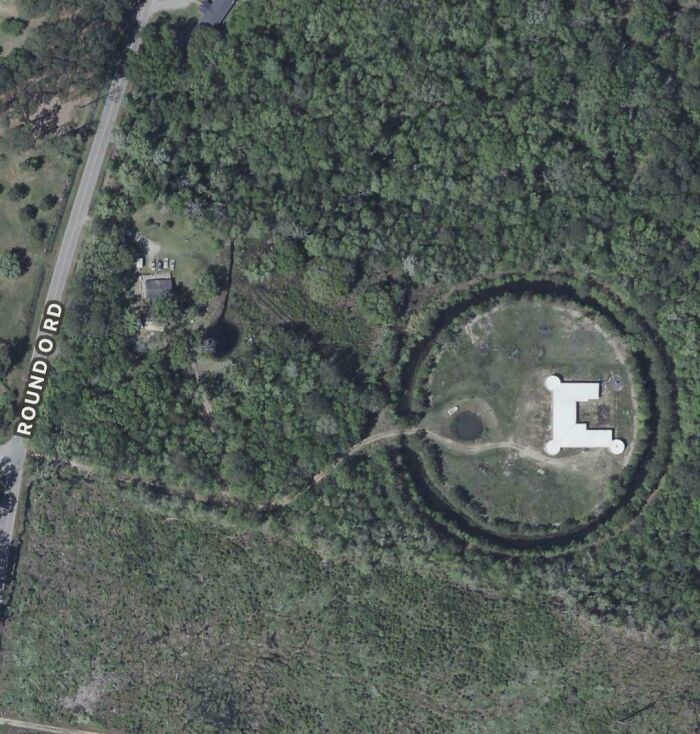
It's an artificial pond used for weapons testing. They put boats in and shoot them as well as testing underwater explosives.
Calling themselves Where 2 Technologies, the four partners based themselves in the spare bedroom of Gordon’s apartment in the Sydney suburb of Hunters Hill and began building a Windows application program they dubbed Expedition.
The prototype had an address bar at the top, and in the center, a map of downtown San Francisco with a route along Interstate 80 over the Bay Bridge highlighted as a red line. Two location pins, in the form of US-style letterboxes on poles, marked specific locations.
“I’m actually surprised how similar it looks to what Google Maps looks like today,” says Ma.
Dense_Govt1506:
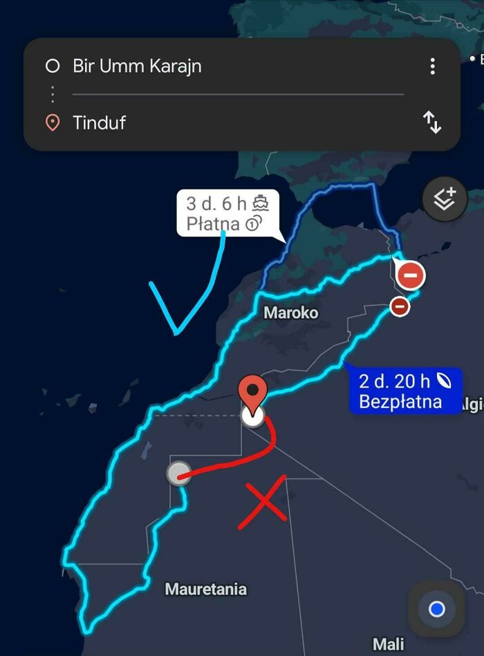
This is not even possibile because Moroccan-Algerian border is closed since 1984. You have o cross the Gibraltar Strait and get a ship back to Algeria.
The Where 2 crew presented this demo to Sequoia Capital, the legendary Silicon Valley venture capital firm that has been bankrolling some of the biggest names in the startup world since the 1970s. Where 2 hoped to secure some seed funding and take the pressure off their dwindling personal savings and maxed-out credit cards.
But in March 2004, Yahoo Maps launched a new feature called SmartView, allowing users to conduct map-based searches for restaurants and entertainment venues. Today it’s a standard feature on all online maps, but back then, it was groundbreaking enough to spook Where 2’s investors into pulling the plug on the deal.
As a consolation prize, however, they were introduced to Google, and not just anyone at Google: they got to present their demo to Larry Page, one of Google’s co-founders.
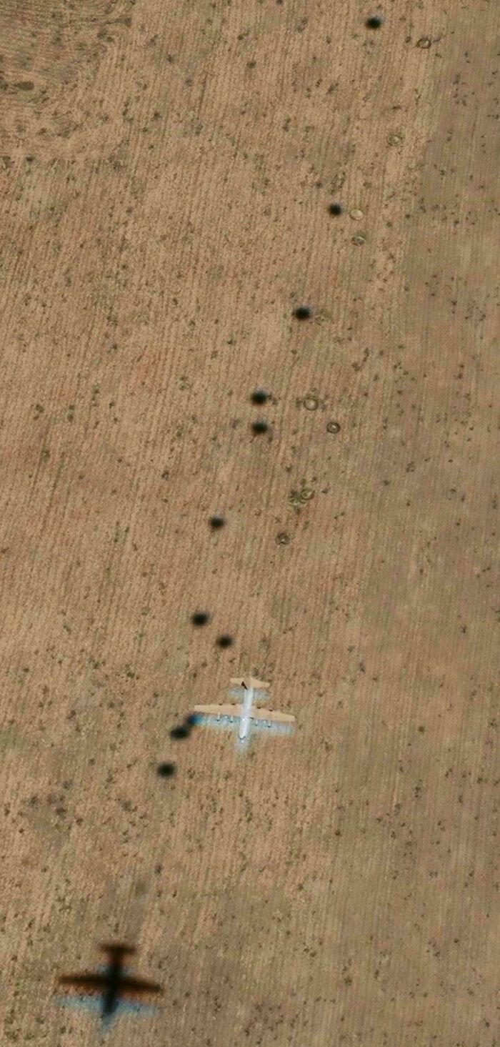
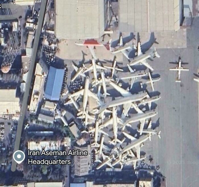
Surely all these planes can’t be stored like this? Can anyone explain what I’m seeing? I assume this is multiple pictures overlaid.
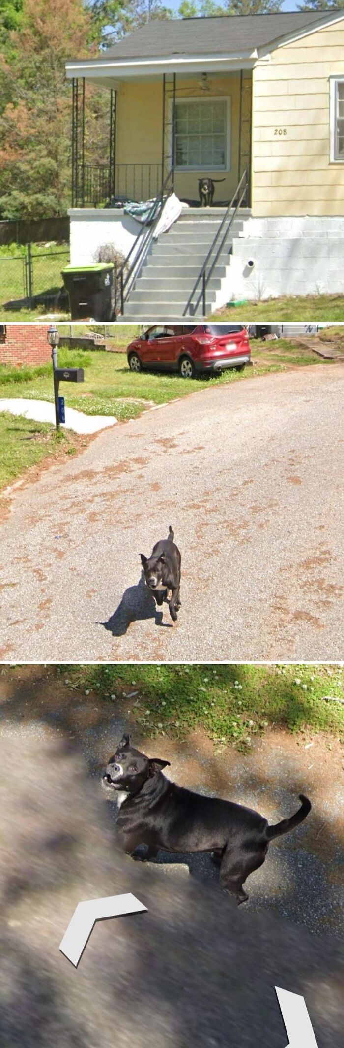
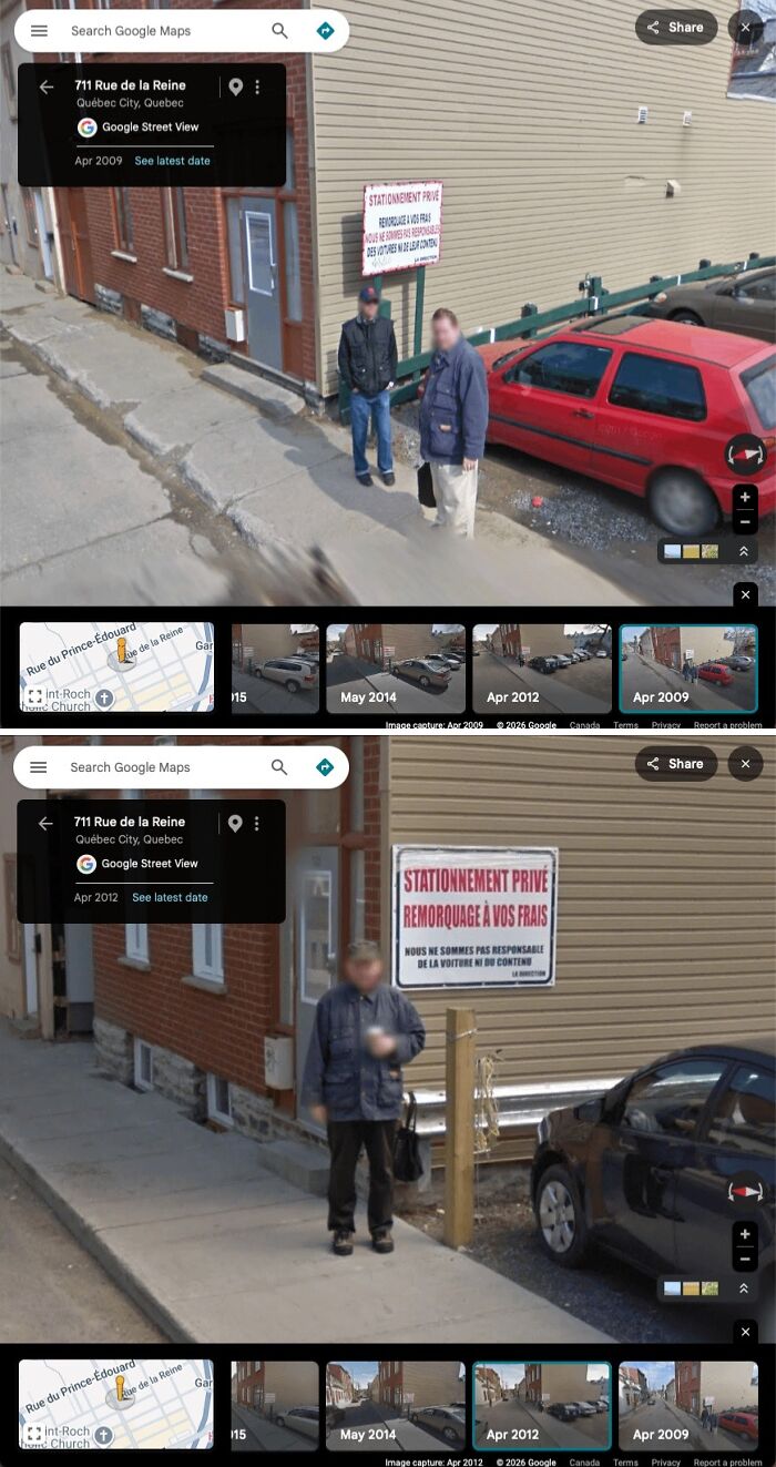
This guy waited 3 years at the same spot for the streetview car to come back.
Page was impressed but had no interest in desktop software.
“We really like the web,” he told the Rasmussen brothers, implying Google was only interested if the map features worked in the web browser.
The Where 2 team scrambled together a web version of their program using a little-known set of web development techniques known as Ajax, short for Asynchronous JavaScript and XML, a web language. It meant an already loaded webpage could fetch new data – in other words, update itself – without needing to refresh the entire page.
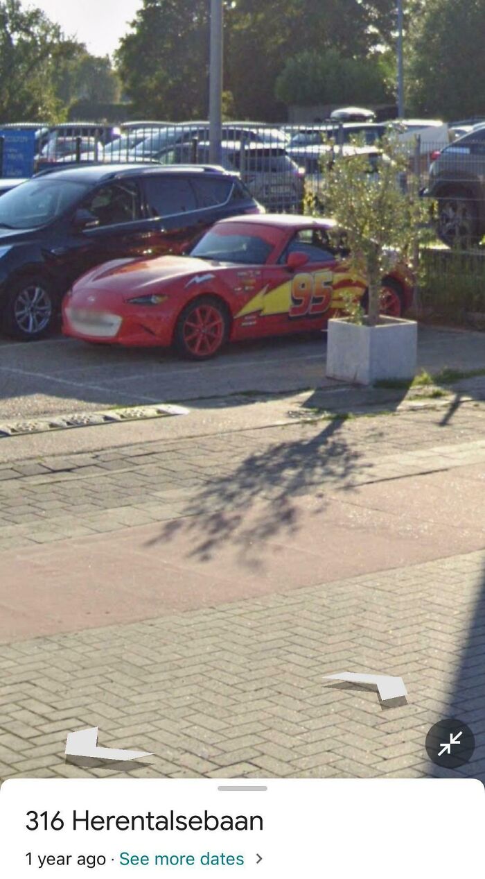
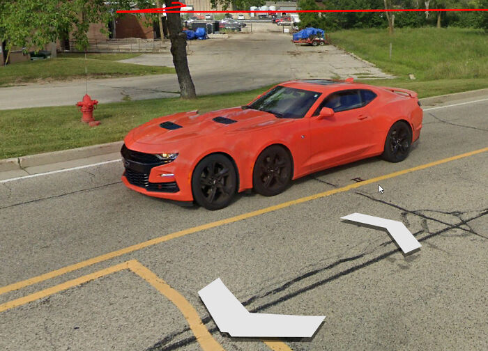
This is actually a Mazda MX5 Miata from 2016 and up.
astrocrat:
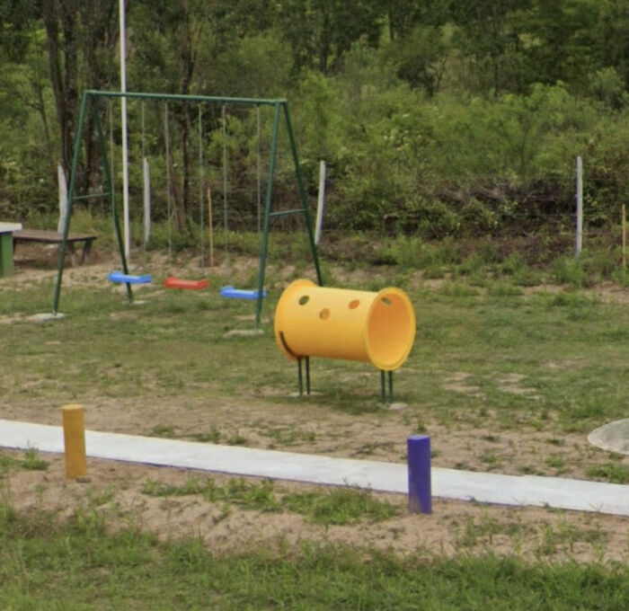
"Sit in the short tube" was my favorite game as a child.
Now get away from the street. Drivers do not care about the lives of others.
[52°32'04.4"N 3°42'06.7"W]
Instead of loading a large map image, the webpage would load multiple smaller map tiles and display them as needed. It gave the sense of dynamic, frictionless motion you now experience on all online mapping platforms.
The demo was a hit. Google hired the Where 2 team and subsequently bought their intellectual property for an undisclosed price.
“Google was very good at picking up good teams at very low prices because there was no competition in the acquisition space at that time,” says Ma.
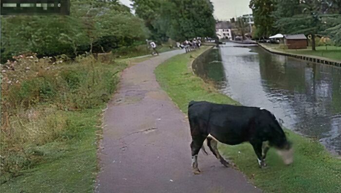
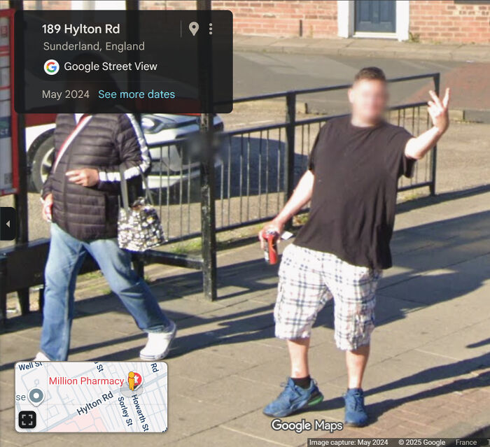
Note the beverage and attire. Sunderland, North East England.
I spent 7 years living in Germany and traveled much of Europe. It opened my eyes to how efficient and convenient public transportation is when networked across a whole continent. I grew up in rural Georgia (US) and never gave public transit a second thought. Now that I'm back, America feels really behind.

"America feels really behind" LOL what an understatement! That's why some nations classify the U.S as an "Underdeveloped nation". Very sad indeed...
The Where 2 sale price has never been revealed, but there are clues in Google’s 2004 annual report: it disclosed that US$66m had been outlaid for four small acquisitions, including Where 2, in a combination of cash, future performance bonuses, shares, and options. That would have been split between multiple owners.
On 7 June 2004, the Where 2 crew turned up for work as Google employees at the company’s Sydney office, which at that time only comprised six salespeople. Eight months later, Google Maps debuted.
If you want to see more ridiculous things that have made their way onto the platform, check out these 60 Amusing Screenshots People Just Had To Take While Looking Up Google Maps.
25°59'30.1"N 97°11'00.0"W
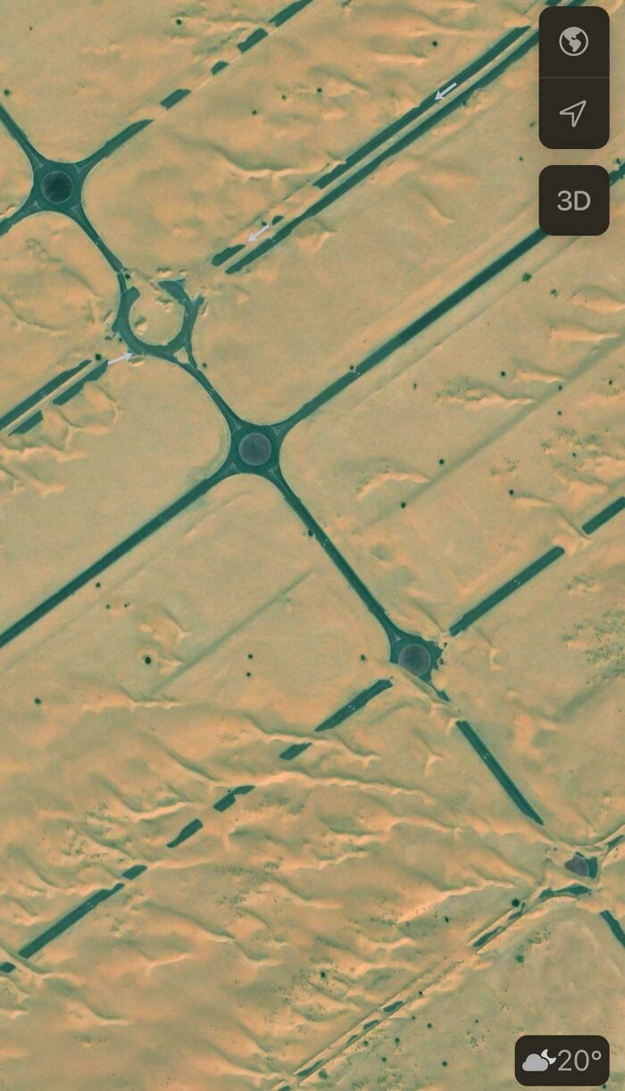
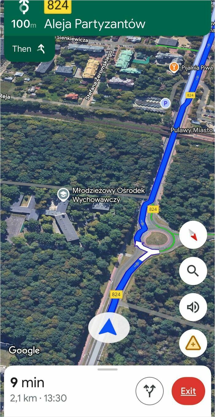
Looking at the road layout, they're being directed the wrong way on the roundabout and into oncoming traffic. You just know some will blindly follow the satnav.
BeachProducer:
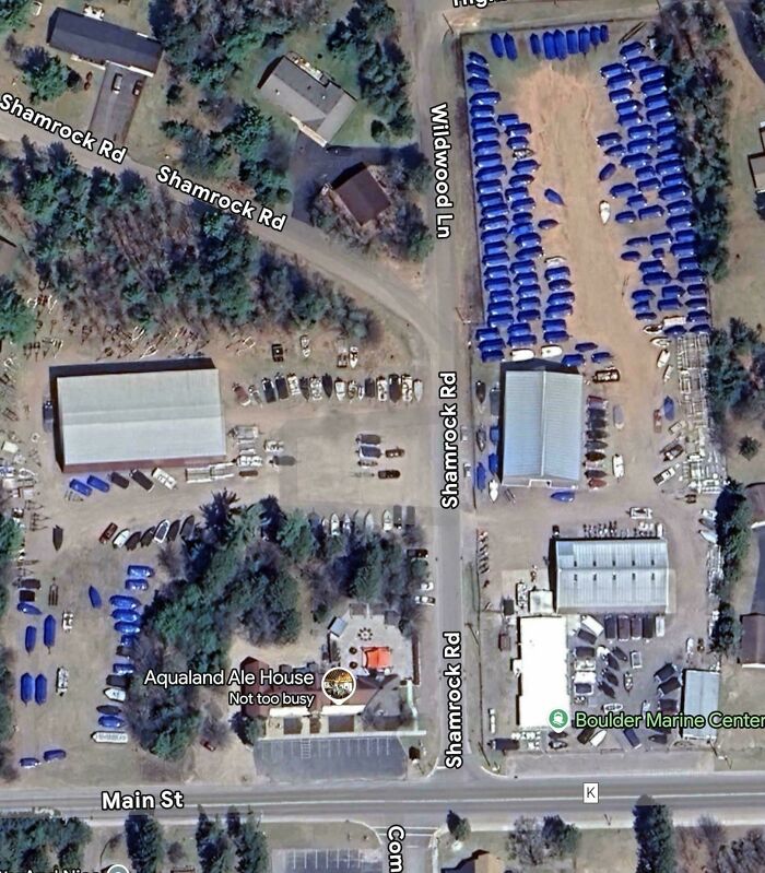
Those are plastic wrapped boats for long term storage. The business is Boulder Marine Center & many ship yards use basically a shrink wrap for storage protection.
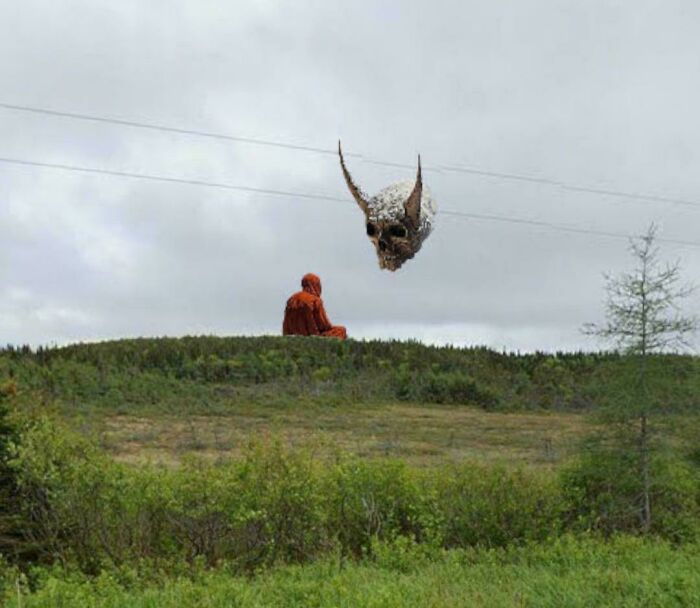
So I found this by wanting to see how much snow was in Alaska weirdly enough. My husband was considering taking a job there so I checked Google Maps. How did I end up looking at this specific point? I remembered the old story I was told in grade school about the person naming Iceland and Greenland the opposite of each other and pulled the map over there. Then I saw weird strand like images and zoomed in to try to figure out what they were. I believe they are ice but this little dot was the closest point to the ice strand things. Any thoughts on if this is a real... statue? It is so strange and to me looks edited in. If it is edited in, how do they end up doing it? This is my first post so sorry if the editing question has been answered before in a different post. Thank you!
magicmike87:
This is a user upload opposed to a street view image. This person has contributed a few hundred times and often contains wacky pixel art.
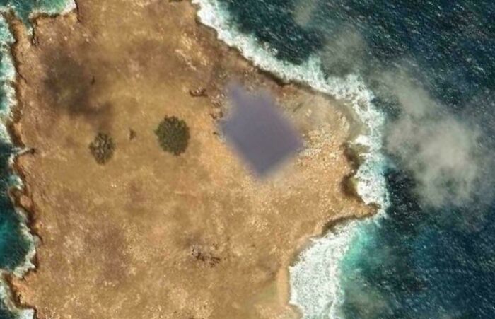
While browsing Google Maps, I found a symmetrically censored area. There isn’t even the smallest settlement around it, and the surroundings are completely rocky with no structure that looks like a pier. Do you think it’s an error, or could it be a military area? Link
Opposite_Bus1878:
It's basically just some rock outcrop.

Looked up the street where I was born and lived all my childhood. The house is blurred out for some reason, but I understand that you can request it for some reason.
DowntownClassic1738:
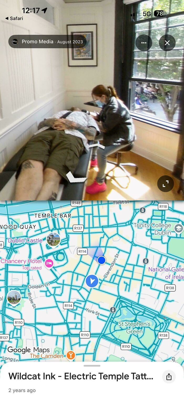
Looks more like the piercing, there’s no tattoo machine seen, no barrier covers, the package from steriliser laying on the table - not the tattoo setup definitely.

I was pierced in that very room!! It's just off Stephen's Green, at the top of Grafton Street, beside Bambinos.
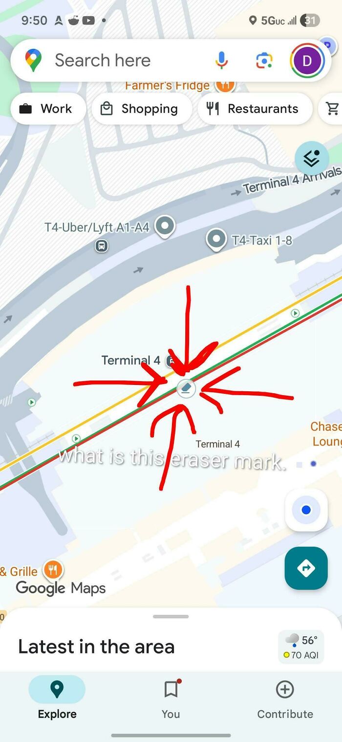
I saw this when looking at JFK airport and it looks common around different parts of airports. I'm sure its obvious but any info would be interesting.
Longjumping_Gap_9325:
Ticketed Turnstiles from what I can tell? This is at SFO in the BART area.
That or paper shredder locations to take care of any paperwork before security or Customs & Border?
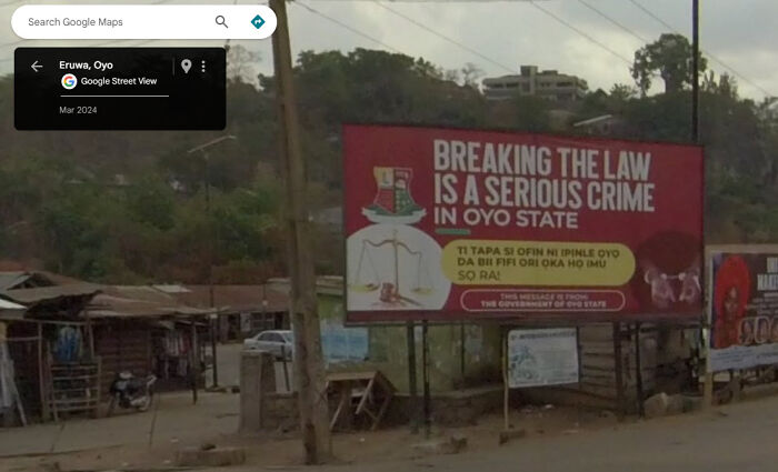
Found this message from the government of Oyo State in Eruwa (7°32'20.5"N 3°25'28.7"E)
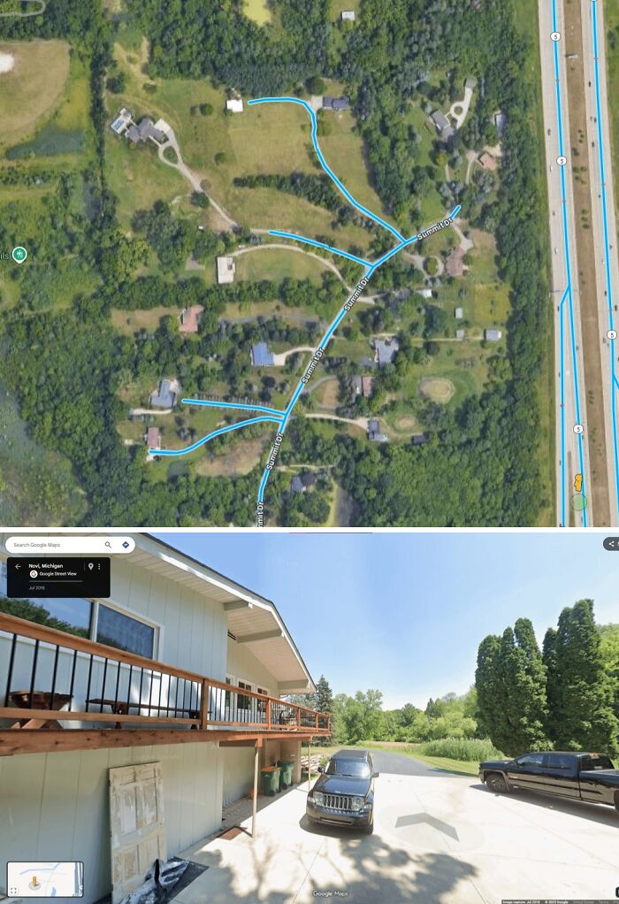
42.504387721572456, -83.45006802754308.
Organic_Award5534:
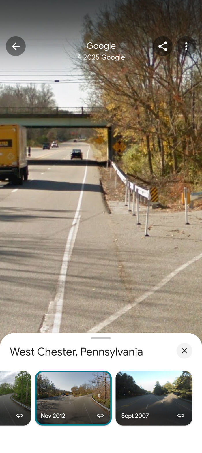
The driver is told to drive all roads in the prescribed area, but there are a few reasons driveways or private roads could be captured:
Some of the roads in the area might be very narrow and the driver mistook the driveways for narrow roads.
The driver is very new to the job and want to do the job thoroughly - Google marks many driveways and road on maps and this may have thrown off the driver.
These small roads might actually be classed public roads, despite looking like driveways. Can happen in rural areas where people have long driveways.
Another reason is that the driver was told to be more thorough this time as the area is lacking in street view coverage. Sometimes local areas ask Google to be more thorough because they benefit from Streetview in some way.
junipertwist:
It's a house, 12146 Round O Rd, Round O, SC 29474
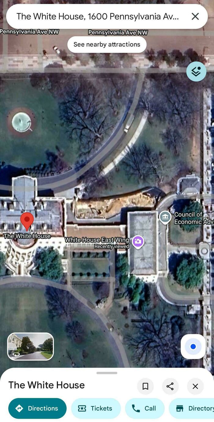
I remember joking about the trumps ripping the copper wires out of the white house like a bunch of speed freaks after the 2020 election. God I wish I could laugh at anything anymore I just have a low level stress headache now and I'm just tired of this b******t.
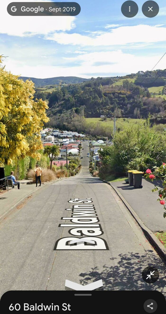
I have driven on streets far steeper than that! Tortola, British Virgin Islands for just one example
42.278477° -88.150577°
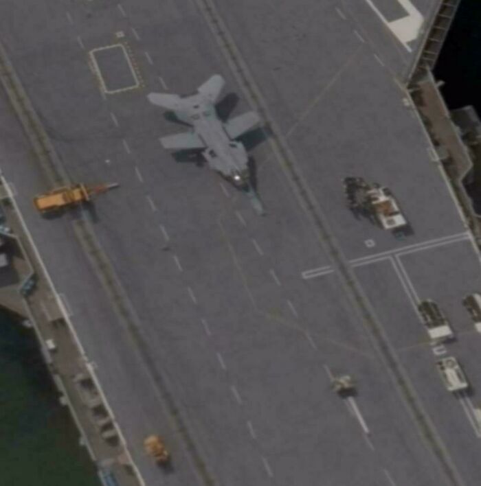
It looks like a mini b1 lancer because of its (probably) swept wings.
cyanide_sunrise2002:
Looks like a hornet. Perhaps an image artifact making the wings look weird.
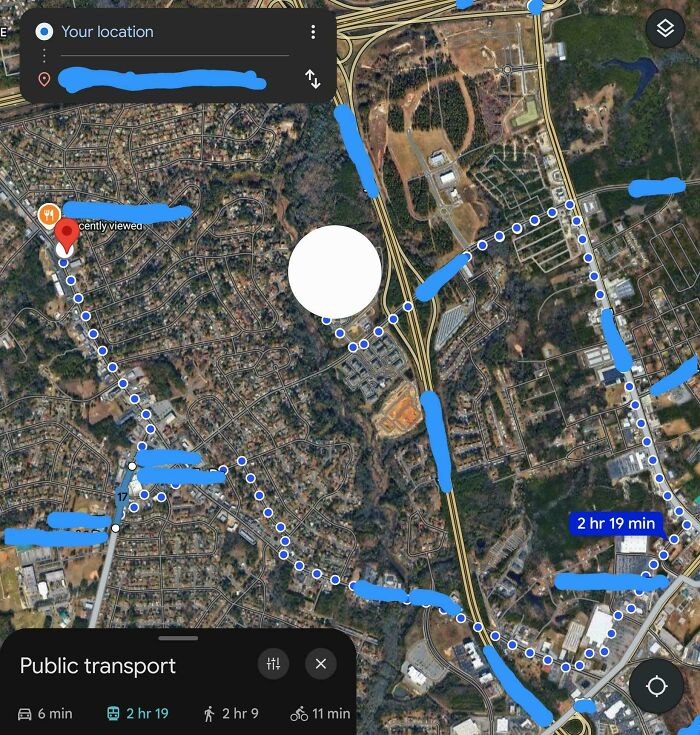
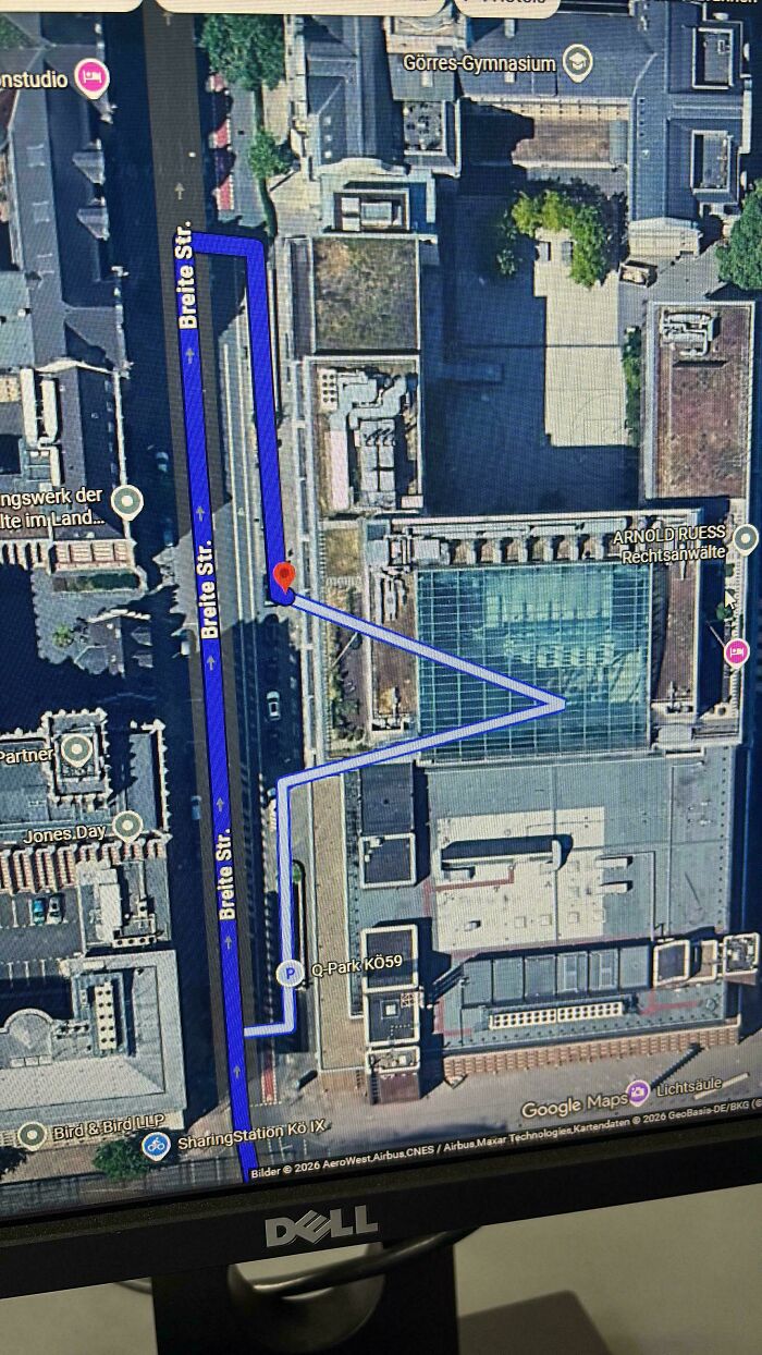
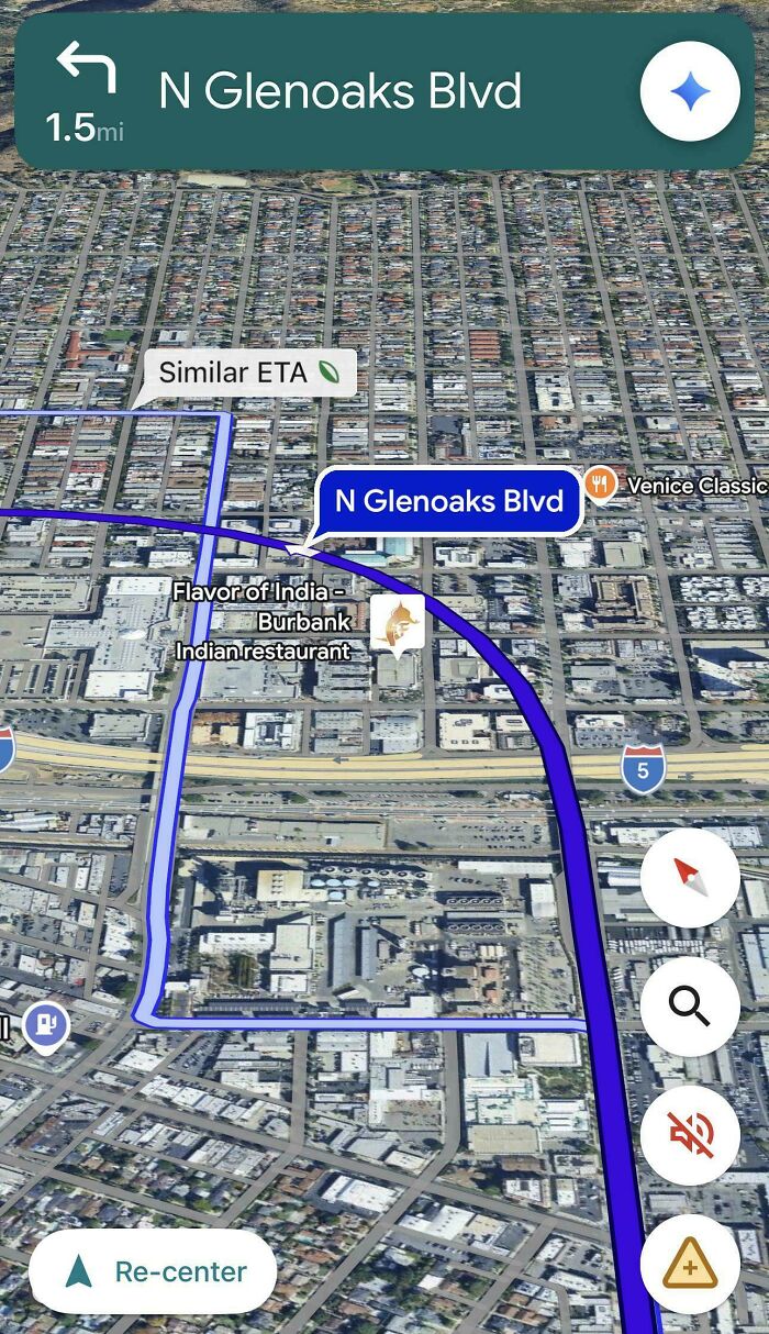
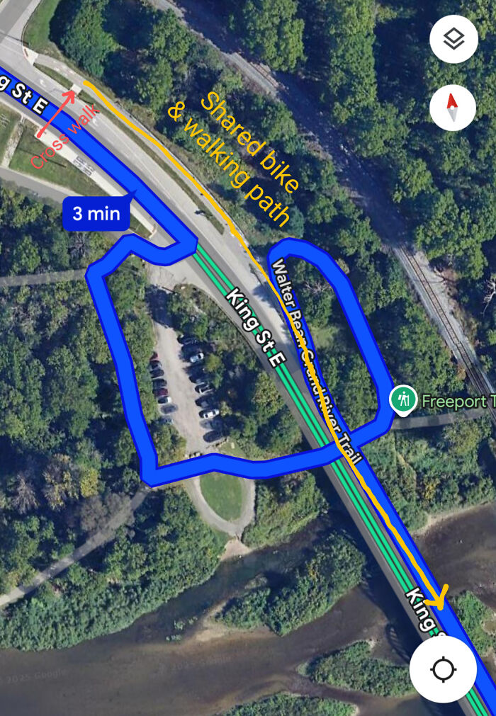
I've seen Google give some pretty whack directions before, but this one makes absolutely no sense to me.
When travelling from the top left to the bottom right, if transportation mode is set to biking or walking, this is the directions it give for either of the 2.
Instead of just simply crossing the bridge, which has a shared pathway from biking and walking, it's suggesting I get off the road, take a trailway down the hill, then cross under the bridge, then come back up the hill on the other side of the road, then onto the shared pathway on the left side of the road, and then cross the bridge over the river.
No, let's not use the crosswalk to get to the left side of the road and then just simply cross the bridge on the shared pathway on the left side of the bridge. That would be too difficult.
Also, on a bike, I'm not even obligated to use the shared pathway, I could also just stay on the right side of the road and cross the bridge on the road with the cars. But even if it wants me to stay on the shared pathway, there's still absolutely no reason for this loop de loop down and under the bridge and back up 🤣

This is because the person selected "fastest" route. That cross walk is signaled, and you have to wait for cars. So, by going around on the diversion trail, you save three minutes.
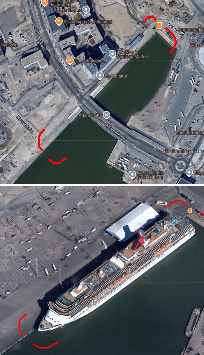
While exploring Helsinki on Google Maps, I came across something interesting in the 45° tilted view, something that wasn’t visible at all in the standard 2D imagery.
In the regular map tiles, nothing noteworthy. But switch to the 45° view (pseudo 3D), and suddenly, a massive cruise ship appears docked at the harbor. After a bit of searching, I found out it might be the Carnival Splendor.
You can still see it here on the map (as of now): https://h2h.run/CTILW9WAC/IO6/ (60.152992°, 24.914309°)
What’s especially disappointing is that Google Maps’ 45° view API is scheduled to be discontinued soon, something I only found out yesterday.
While the high-res 3D tiles have their strengths, they often suffer from severe distortion at close range. In contrast, the 45° imagery offers a more photorealistic and grounded view, and occasionally captures interesting scenes, like this cruise ship.



























 No fees, cancel anytime