Get Premium
Dark mode theme is available exclusively for premium users. Learn more about the benefits of subscribing.
No fees, cancel anytime.

 Dark Mode Ad-Free Browsing Unlimited Content

 Ad-Free Browsing Unlimited Content Dark Mode

Join 1.2 million Panda readers who get the best art, memes, and fun stories every week!
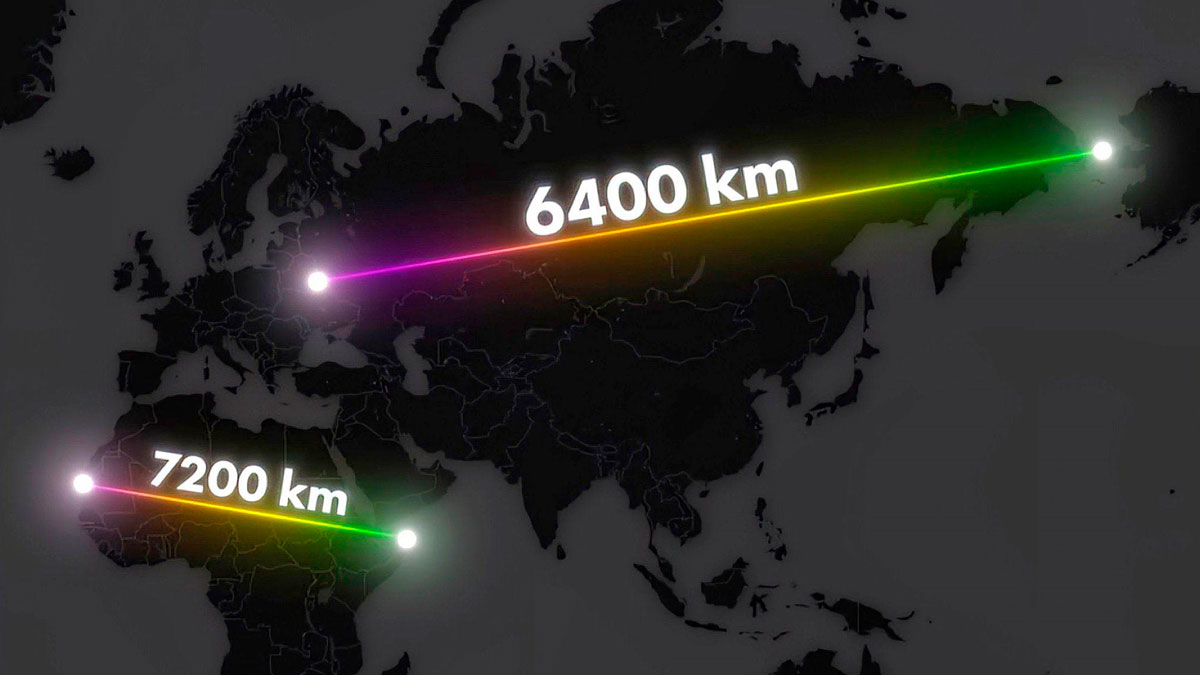
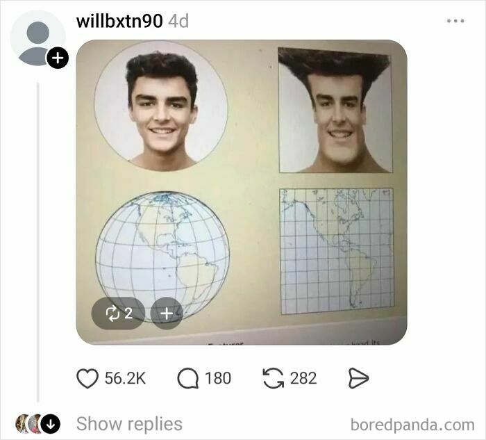
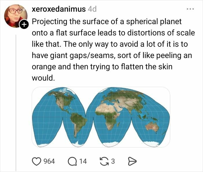
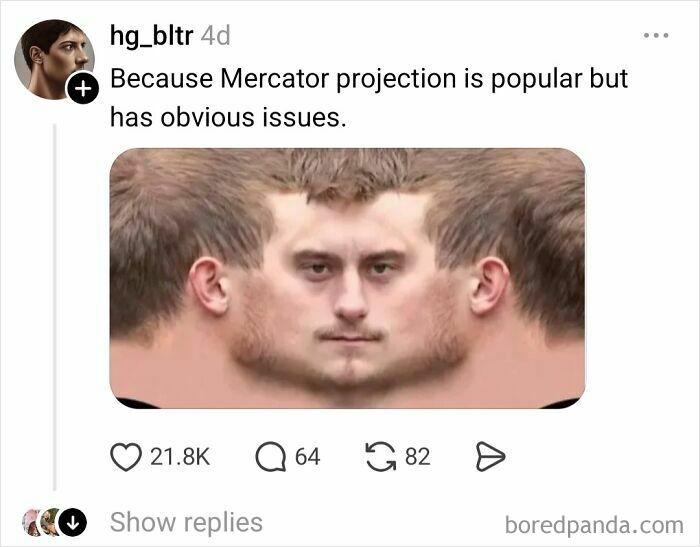
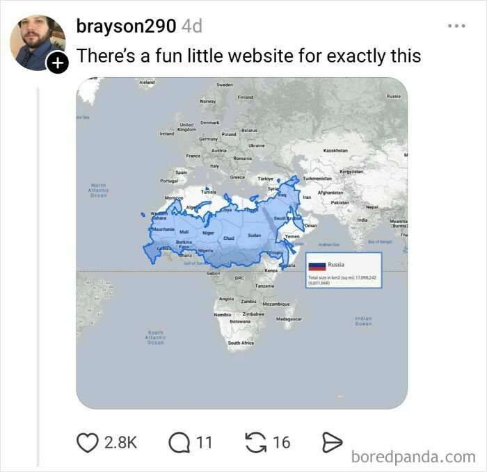
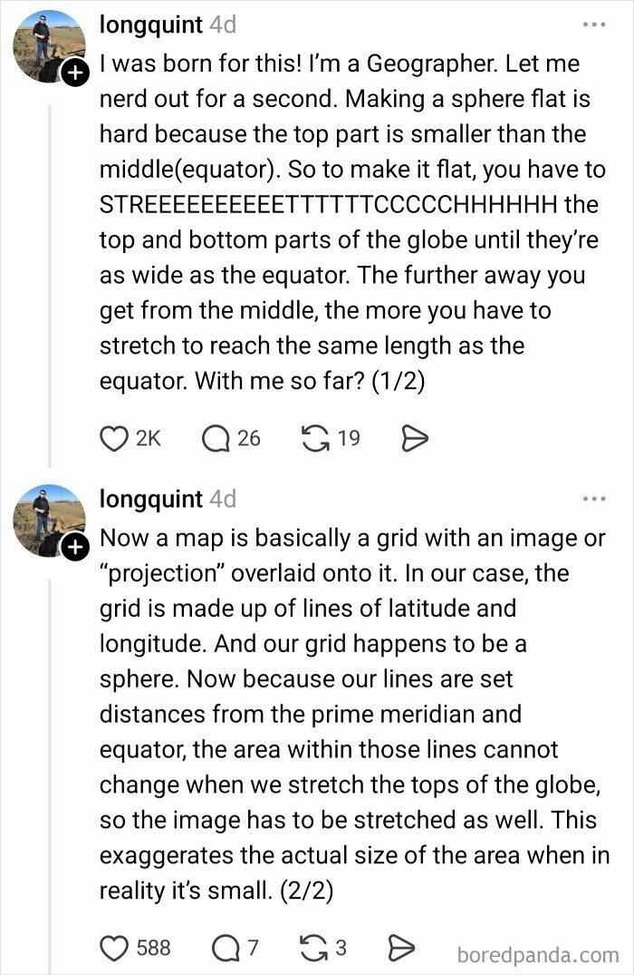
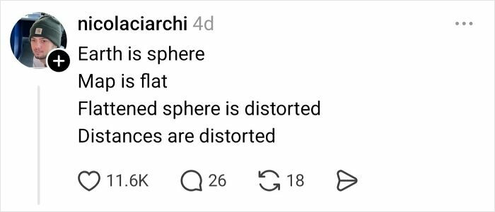
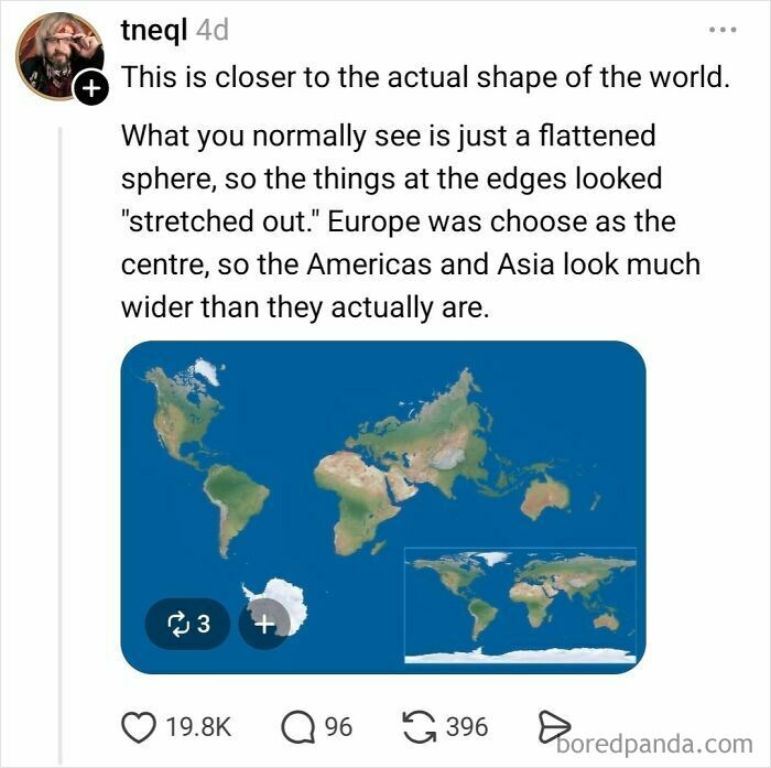
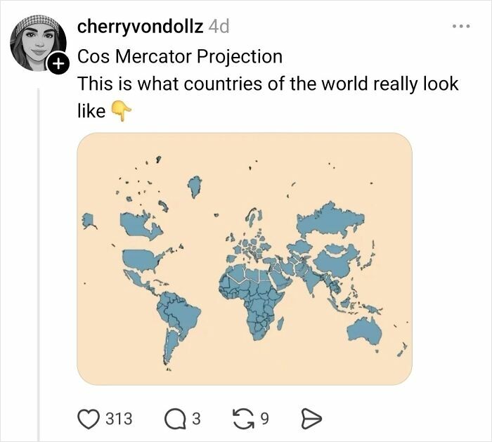
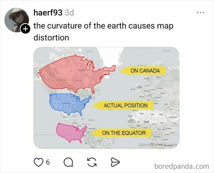
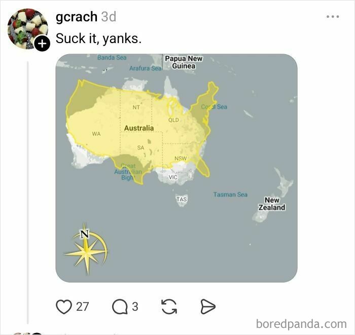
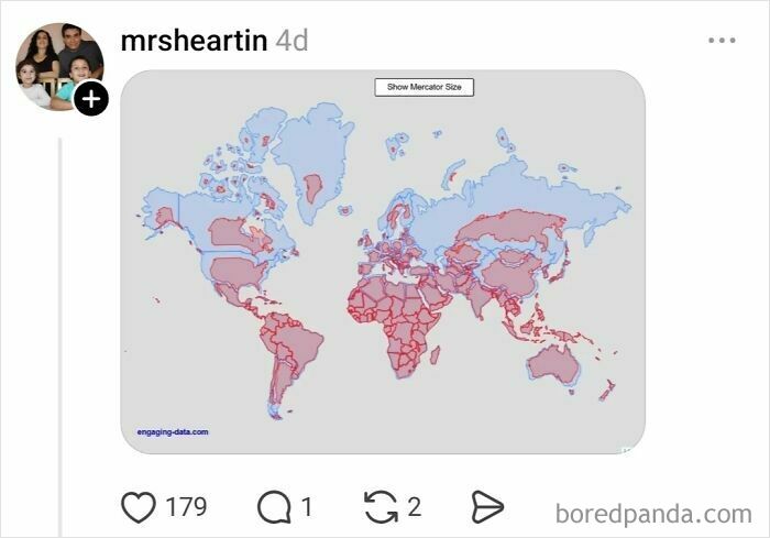
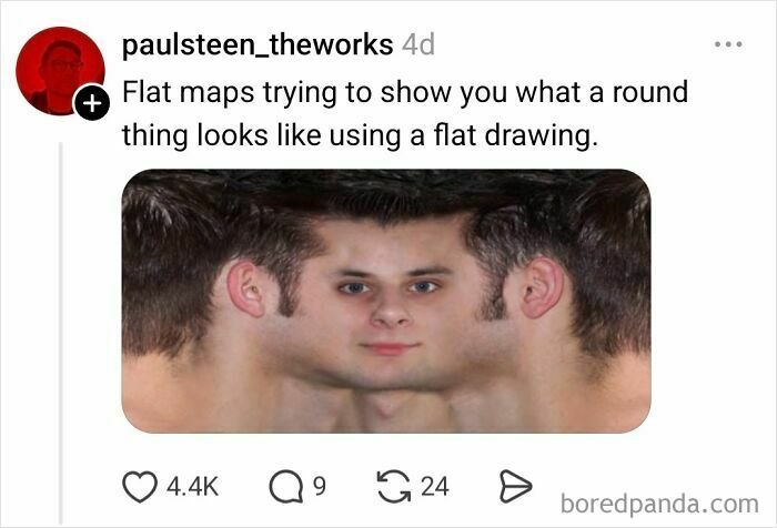
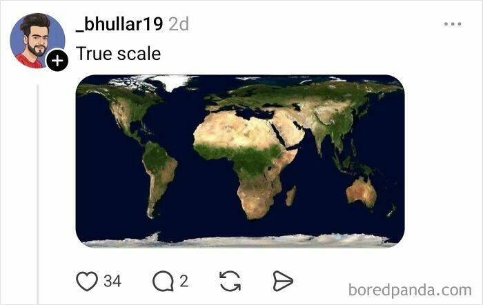
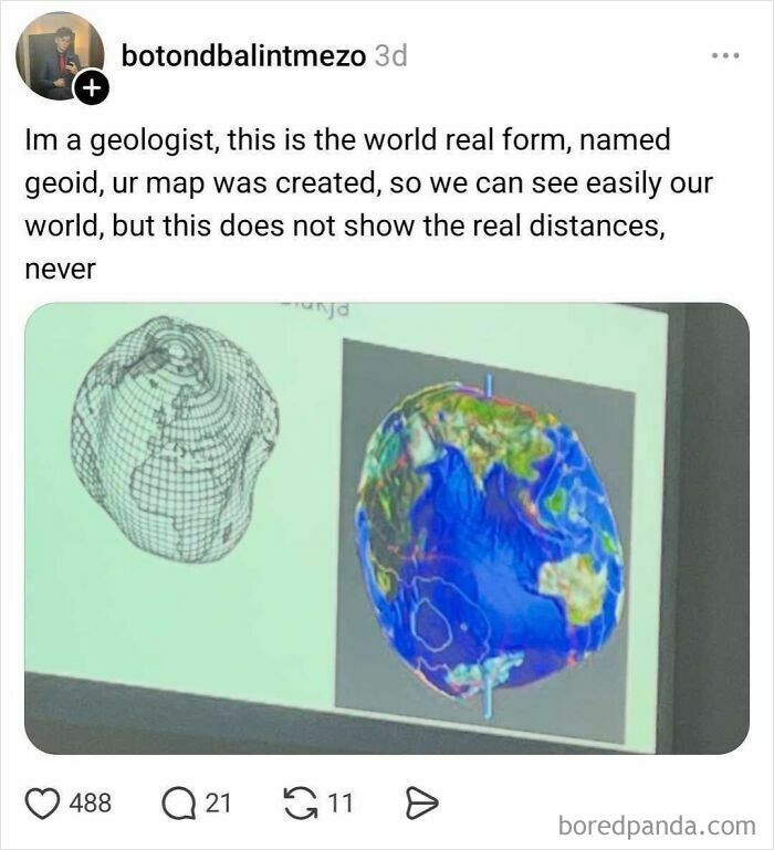
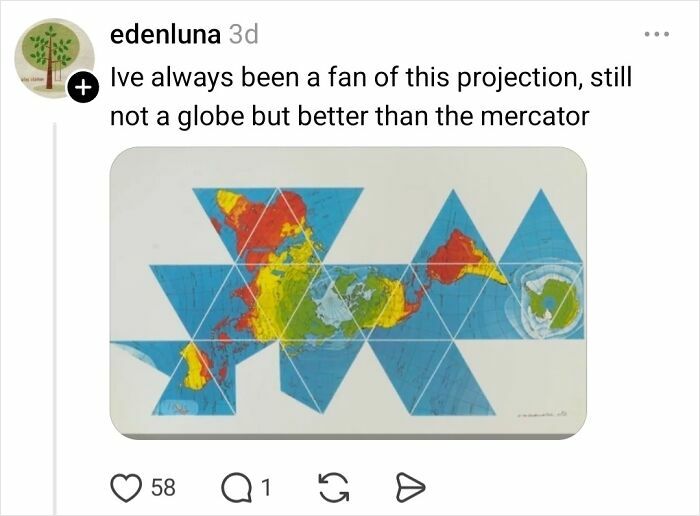
Maps distort reality because the Earth is a three-dimensional sphere, and any attempt to represent it on a flat surface requires compromise.
It's like trying to make a rectangle out of an orange peel. You have to stretch it, squash it, and tear it to do so.
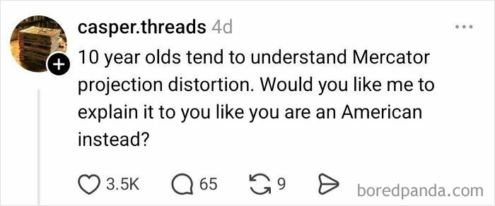
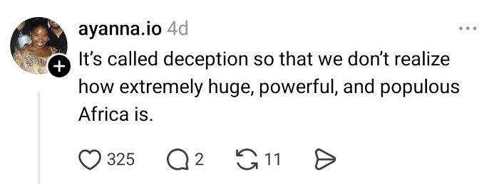
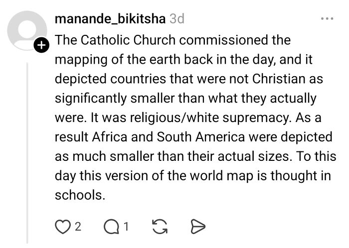
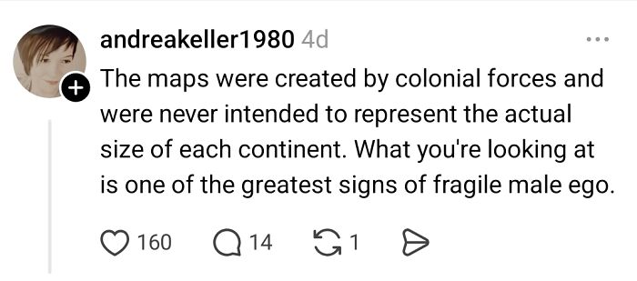
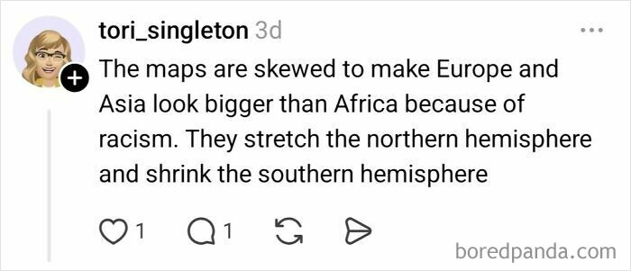
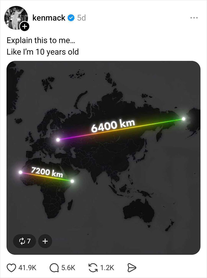
To fully understand the concept, Threads user Ken Mack asked everyone on the platform to explain it in a way that even a 10-year-old would comprehend. And people delivered!
Here are some of the funniest and most creative replies he received.
This post may include affiliate links.

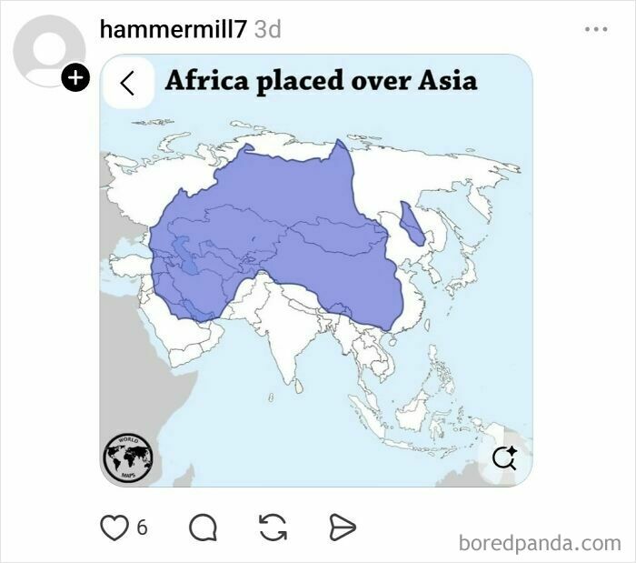
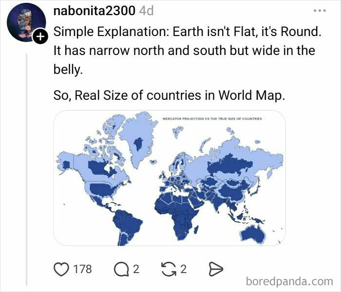
This is a simple and clear (Orange peel reference) explanation of an age old issue. I worked with a Science convention and they always gave a gift to the host city's science education effort. One year that got a GIANT inflatable globe (sort of like a bounce house). The teachers could setup the globe in a school auditorium and the whole class could go inside and see the actual sizes of continents, etc. IT WAS BRILLIANT! Incredibly effective. BTW, the continent of AFRICA is much much larger than any flat map shows.

This must be the best explanation for the globe -> mercator(?) projection! 🌍🌎🌏

Never miss an opportunity to bash Americans. We aren't all uneducated morons, only the loudest of us, just like every other country on Earth. Dumb people think high volume makes them smarter but people who generalize based on a person's country now that is really dumb.


Yep 👍🏻. Upvote for the West Wing, and one of the best episodes 😊. Is the West Wing nearly a ballroom now?

Geez what happened to Greenland and Canada and the far n northern Global North?

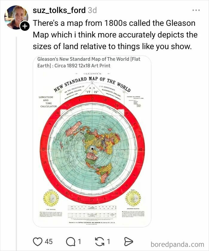
Flat Earthers love this one, but only because they don't really understand what it is.
They are demonstrated. I'd query 'taught' as 10 year olds aren't usually up to spherical trigonometry

Maybe, but more likely the majority of the world's population resides in the northern hemisphere(majority not white).
The location of the equator is Eurocentric? OK.... Tell us where you would put it!
And how much gold and minerals and labor there is to exploit. China has a big interest.

If I'm not mistaken, South America is overwhelmingly Roman Catholic. Try again.
Mercator is equally 'wrong' in the Northern and Southern hemispheres; it's most accurate near the equator and hopeless near the poles. It's not race, it's latitude.

disappointed at how many of these comments are claiming that the distortion inherent in the Mercator projection is all a white/imperialist/religious conspiracy, rather than the actual reason that it was the first map that allowed marine navigation to any degree of accuracy.

It might feed into racism and ethnocentrism, but it wasn't created for that purpose.
Load More Replies... I honestly can't tell how many of these are deliberate parody of the original question, or actual idiocy. It's a common problem on the internet.
disappointed at how many of these comments are claiming that the distortion inherent in the Mercator projection is all a white/imperialist/religious conspiracy, rather than the actual reason that it was the first map that allowed marine navigation to any degree of accuracy.
It might feed into racism and ethnocentrism, but it wasn't created for that purpose.
Load More Replies... I honestly can't tell how many of these are deliberate parody of the original question, or actual idiocy. It's a common problem on the internet.
















 No fees, cancel anytime