Get Premium
Dark mode theme is available exclusively for premium users. Learn more about the benefits of subscribing.
No fees, cancel anytime.

 Dark Mode Ad-Free Browsing Unlimited Content
 Ad-Free Browsing Unlimited Content Dark Mode
Join 1.2 million Panda readers who get the best art, memes, and fun stories every week!
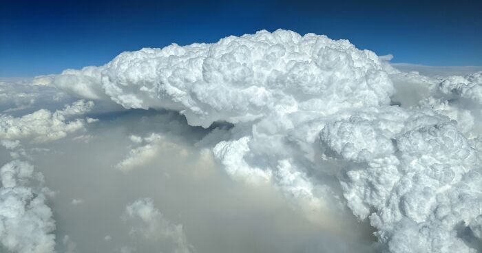
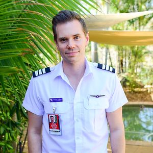
I am an airline pilot in Australia who flies throughout Australia almost every day of the week.
Although it is normally an amazing view from my “office” the terrible bushfires over the past month have caused severe devastation on an unprecedented level. Now a national emergency, the fires have estimated to have wiped out half a billion animals.
Thick, billowing smoke can be seen from hundreds of kilometers away, with reduced visibility in some airports slowing aircraft arrivals and in some cases diversions due to lack of visibility required for landing.
Over the past month or so, I have been taking photos of the pyrocumulus cloud formations which result from these bushfires as we fly past.
This type of clouds occurs when the ash and other particles from smoke rise through the atmosphere through extreme convection from the fire below and reach the “convection level” which is where the air cannot hold any more humidity and the moisture in the atmosphere condenses and forms the beautiful clouds.
The particles and ash from these fires allow the moisture to condense more readily from increased condensation nuclei, which form these thick cloud shapes.
Pyrocumulus are very distinguishable, as they are extremely well defined with a dark, smoky bottom then transitioning to the white cloud through the convection layer.
1Kviews
Share on Facebook


 No fees, cancel anytime


23
1