Get Premium
Dark mode theme is available exclusively for premium users. Learn more about the benefits of subscribing.
No fees, cancel anytime.

 Dark Mode Ad-Free Browsing Unlimited Content
 Ad-Free Browsing Unlimited Content Dark Mode
Join 1.2 million Panda readers who get the best art, memes, and fun stories every week!
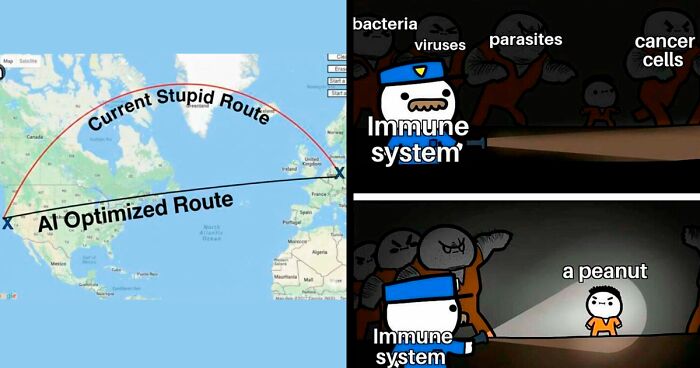
As technology moves at the speed of light, we often hear that "there's an app for that." And while maps have been around for centuries, they've evolved to be more than just about navigation, or showing us where a place a place is. Nowadays, there are countless other maps that flip the script on how we see geography, culture, and history. Some challenge our assumptions. Others highlight hidden truths. Many teach us something we might not have known before. With the amount of maps available on paper and online, one could easily argue that "there's a map for that."
There's an online community dedicated to sharing the most interesting maps around. r/MapPorn has clocked up an impressive 5.9 million followers. They share fascinating and thought-provoking data in map form. Bored Panda has put together some of the most perspective-changing maps we could find on the page. Keep scrolling for a different kind of trip around the world and don't forget to upvote your favorites. We also spoke to cartophile and creator of Brilliant Maps, Ian Wright to learn more about how maps have evolved.
This post may include affiliate links.
You might be old enough to remember the days we would keep a paper map in the cubby of the car. Many were massive, and needed to be carefully unfolded in order for us to see the whole picture, and figure out how to get from Point A to Point B. Of course, there were, and still are map books. A little less bulky but still require some "map-reading" and navigation skill on your part, or you risk ending up on the opposite side of where you're meant to be.
The kids of today will never know the struggles, or joy, of holding an old, worn-out paper map in their hands while setting off on a great adventure. Nowadays, your car or mobile phone speaks to you. As confident as a co-driver during the Dakar Rally. H**l, nowadays, you'll even know whether there's traffic, an accident, or a roadblock on your route. And exactly where it is, how to avoid it, how long the new route will take based on your traveling speed.
The world has indeed come a long way since our ancestors carved maps on clay tablets. Researchers say the earliest known maps date back to ancient Babylon around 600 BCE. And back then, they were based on the belief that the earth was flat, and one wrong step could send you tumbling off into oblivion.
Today, we have people like Ian Wright. He's the founder of Brilliant Maps, one of the most popular cartographic sites on the internet. We were thrilled when the self-professed cartophile agreed to have a chat with Bored Panda about the importance of maps, and whether they serve a purpose in the digital age.
"Maps are important not only because they help us navigate and give us a sense of place in the world but they can be the starting point of new adventures," Wright told us. "Plus, they can also be used to explain the world in a very easy to understand way."
Wright's interest in maps was sparked when he decided to walk London's Tube map - above ground. He then started looking more into what makes the Tube map unique. And later started sharing various maps he’d found on Twitter, the former bluebird app now known as “X”. Today, his account has more than 129,000 followers and over 16,000 posts. He’s branched out and built a successful business around his passion for maps.
"I love maps because I think they're one of the best ways to learn about the world," Wright told Bored Panda during our interview. "They remain one of the best tools to explain the world to people." And the proof is in the list of maps you see while scrolling through this list.
"Maps can tell us lots of things beyond just where things are! They can show us the weather patterns, like where storms might hit or sunny spots to visit," says the cartophile. "Maps can also track fun things like animal migrations, popular foods in different regions, and historical events. Pretty much, if you can imagine it, there's probably a map for it!"
Bored Panda asked Wright whether he thinks paper maps still have a place in the world. Or are they about to be dead and gone? "Interestingly, I was just at a conference and paper maps are still going strong," he told us. "But the key for them in the long term is to create something personal and unique to the map buyer. So while generic paper maps might be on the way out, personalised ones are likely to be with us for the long haul."
Wright is best known as the founder of the Brilliant Maps site and the subsequent book. But his journey is just beginning. "Beyond continuing to run BrilliantMaps.com, I also have two more books in the works," he revealed. "The first is a sequel to my best-seller Brilliant Maps: An Atlas For Curious Minds and the second will be a geography based trivia game."
Nowadays, every second kid has an iPad, they're caught up in the latest series or game, their parents use GPS and the world is hurtling towards a fully digital realm. So how do we keep children interested in maps? What do we do to ensure their survival?
"I think making it about them and their interests is key. Have a kid who loves dinosaurs, show them a map of Pangea," suggests Wright. "A kid who loves space, show them a map of the moon. A kid who loves Harry Potter show them a map of wizarding schools."
You Might Also Like: 27 impressive 3D tattoos


 No fees, cancel anytime


")


")


 Are You Most Ashamed Of?")


